
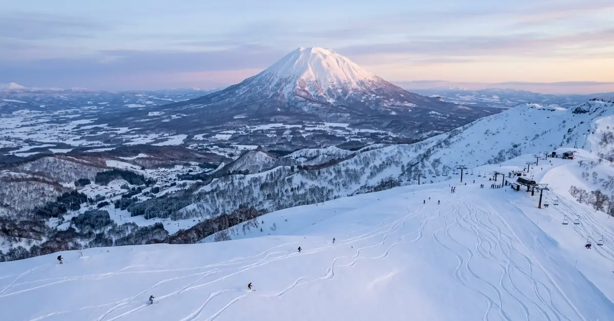
The best date to ski Niseko is January 20. After reviewing more than eighty years of official snowfall records, that single day stands out clearly. At the Japan Meteorological Agency’s Kutchan station, located just outside the main resort area, the average comes in at 13.1 cm of new snow. No other date on the calendar matches it.
Daily totals gathered from the early 1950s right through recent winters produce a ranking almost by themselves, leaving January 20 alone at the top. Siberian cold air sweeps moisture across the Sea of Japan and dumps it as classic Japow; the numbers simply show when that process tends to deliver its heaviest regular load.
What the Long-Term Numbers Reveal
Kutchan keeps the longest unbroken snowfall record of any site close to Niseko United. Run the averages on those daily totals over seven or eight decades and the pattern jumps out. Mid-to-late January sweeps the single-day rankings. At 13.1 cm, January 20 sits clearly on top. The surrounding dates hold their own, spreading the advantage across a useful stretch of the calendar instead of pinning it to one lonely peak.
December and early February still produce solid totals. Pure averages, however, leave them short of the mid-January peak. Some genuine extremes sit in the same long archive, a 69 cm dump on one November day in 1994, a 312 cm snowpack recorded in March 1970, and the 1969/70 season that buried the area under more than two meters. Outliers of that scale prove averages never guarantee a result. Even so, no clearer planning signal exists. January 20 still delivers the highest statistical chance of fresh snow in Niseko.
Must Read: Discovering the Best Italian Restaurant in Toronto
How Snow Builds Through the Hokkaido Season
The January peak only makes full sense once the entire winter is viewed in sequence.
Late November is when the snow usually starts, and it builds quickly from there. The base by mid-December often already sits at 100–150 cm.. Crowds stay thinner during this early period. In addition, prices sit lower. The pack is still settling, though, and the storms can feel relentless.
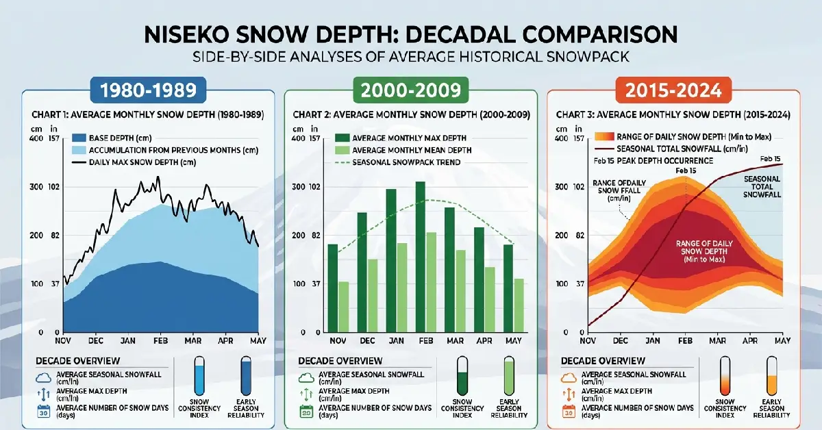
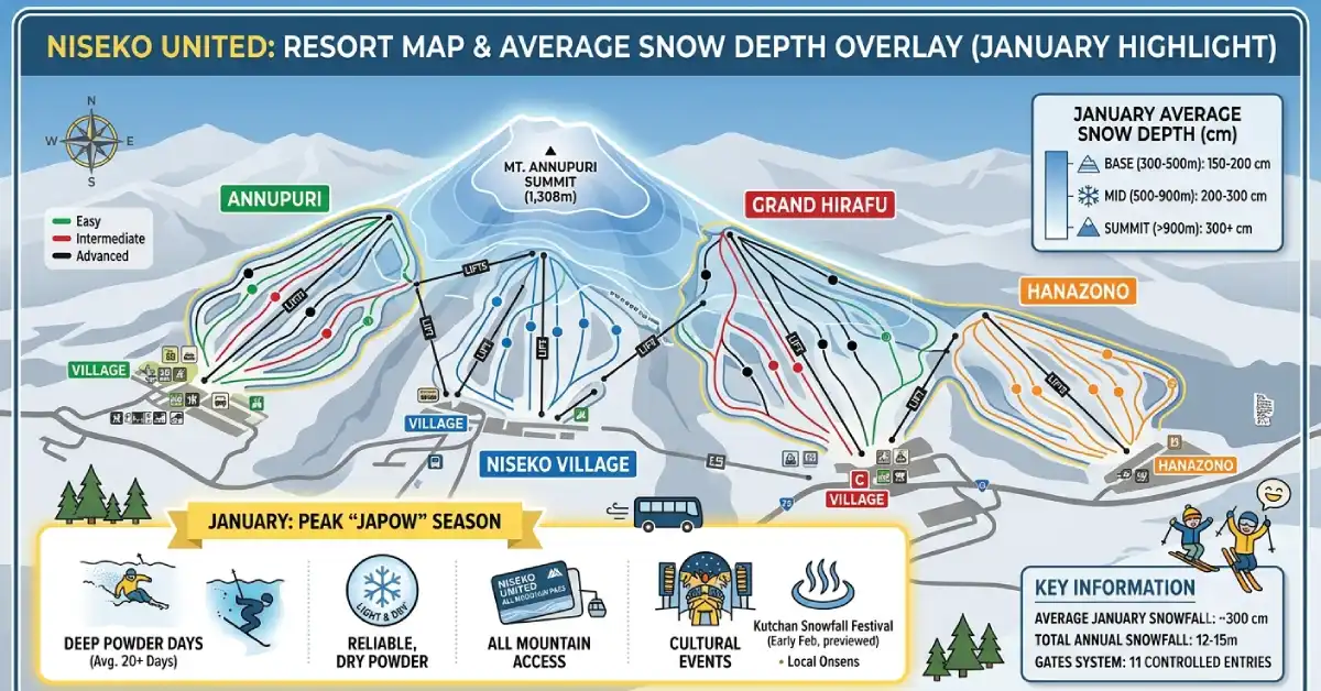
Volume then steadies once January arrives. Early February continues the same strong pattern. This stretch produces the most consistent Niseko snowfall and the lightest, driest Japow of the year. Cold air keeps the crystals sharp. As a result, monthly totals frequently crest right here. Inside that stronger window the best time to ski Niseko for pure volume lands in the third week of January, with the 20th marking the statistical high point.
Daily dumps slow once March arrives. Yet the existing pack remains deep. Days grow longer. Skies clear more often. Backcountry conditions finally stabilize. Crowds thin and costs drop. Higher terrain across Niseko United can still deliver strong spring skiing well into April.
A gradual decline also appears in the long-term record. The most recent ten winters averaged roughly 25 percent less total snow than the first ten in the modern dataset. Melt dates have edged earlier as well. None of that erases the January peak. Instead, it makes targeting the historically strongest window even more useful.
Practical Benefits of Aiming for That Window
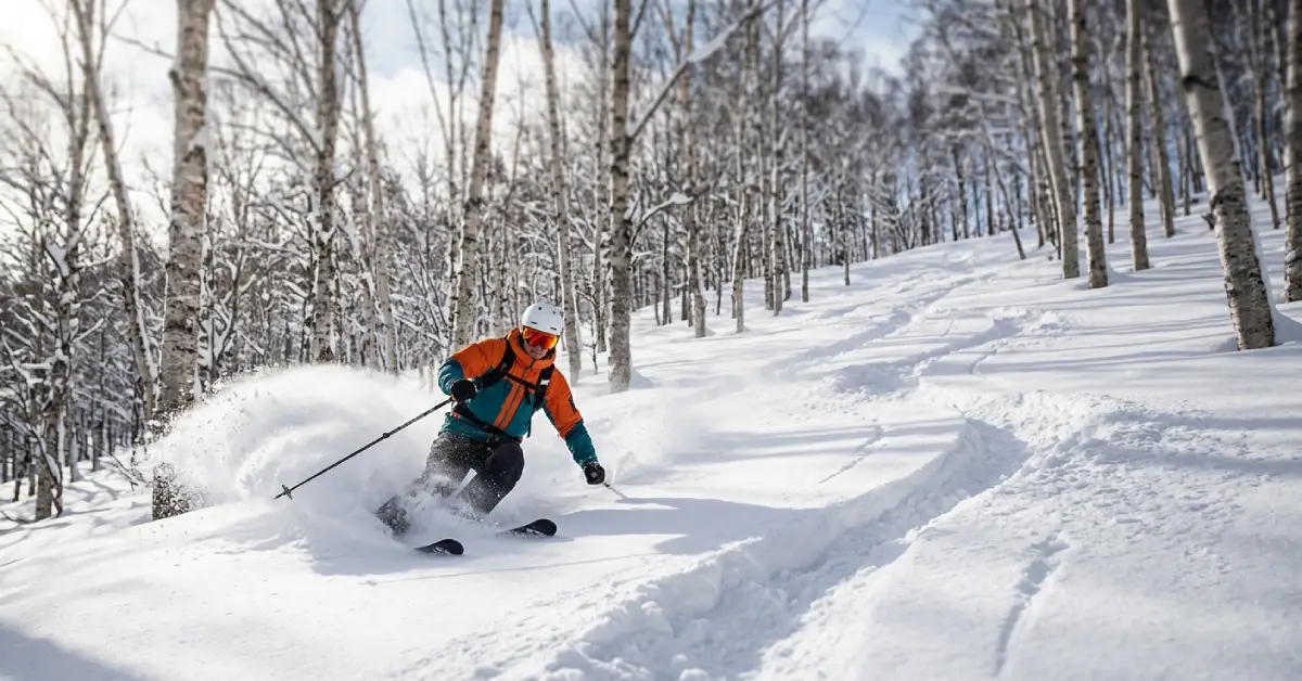
Odds of waking up to fresh snow rise when January 20 is the target. Cold temperatures help the powder stay light longer. Every lift runs. Night skiing operates. Most restaurants stay open. Base depths support both groomed runs and real off-piste lines.
Trade-offs still exist. Accommodation prices jump. Slopes grow busier. Flights and lodging often need booking many months ahead. Furthermore, the same storm cycles that bring powder frequently deliver flat light and reduced visibility. Plenty of skiers nevertheless accept those downsides for deeper, more consistent snow.
Pros of mid-to-late January Highest statistical chance of new snow. Deep, settled base. Full resort services running.
Cons Higher costs. More people on the hill. Shorter days.
Steps That Improve the Odds
Secure lodging early. In Hirafu and Niseko Village the better places routinely sell out nine to twelve months ahead for the third week of January. Keep a close eye on the forecasts in the final days before you arrive Niseko snow tends to arrive in multi-day pulses rather than single dumps. Get out early each morning. Fresh tracks vanish the moment the lifts start turning. Blend resort days with guided sessions so local knowledge steers you toward the aspects that hold powder longest. Build some flexibility into the plan. Build one or two open days into the plan and the worst visibility can be waited out. Nearby options like Rusutsu and Kiroro often pick up comparable snowfall and can feel quieter once Niseko fills up.
For years, many longtime regulars have regarded the stretch from roughly 15 to 25 January as their personal sweet spot. The data simply backs up what experience already taught them.
Matching Dates to Personal Priorities
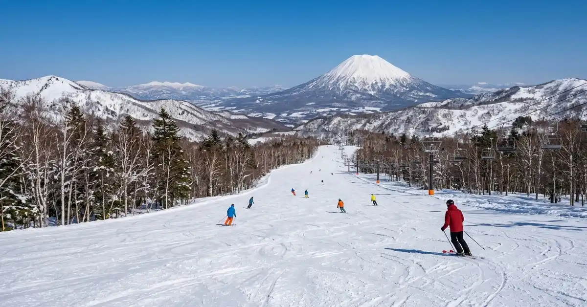
Not every trip needs to lock onto January 20. Late March or early April works better for skiers who care most about lower prices and thinner crowds. February and March bring longer days and more sunshine for those who prefer clearer weather. Early December or mid-March can still produce solid snow with fewer people around. In addition, March often suits backcountry focus once the pack has stabilized and daylight stretches out.
Historical averages still supply the most objective starting point. Once the statistical peak is clear, personal budget, preferred snow type, and travel constraints can reshape the final dates.
Useful External Resources
The Japan Meteorological Agency’s Kutchan records form the foundation for these conclusions. Specialized ski sites that visualize those records season by season make the patterns easier to explore. Cross-checking recent winters against the long-term averages is straightforward with resources such as the historical charts at Snow-Forecast.com’s Niseko page, the seasonal timing advice on Snoprojapan and current condition updates from OnTheSnow.
Final Thoughts
More than eighty years of measured snowfall continue to point in the same direction. The best date to ski Niseko is January 20. That day averages 13.1 cm of new snow, higher than any other calendar date. The surrounding mid-to-late January window still offers the strongest overall chance of deep, high-quality Japow.
Treat the number as a planning anchor. Adjust for budget, preferred conditions, and crowd tolerance. Book early. Stay flexible with the weather. Respect how quickly conditions can change. Follow those steps and you give yourself the best statistical shot at the powder that built Niseko’s reputation.
FAQ of Best Date to Ski Niseko
What is the single best date to ski Niseko according to historical data?
January 20. Across roughly eighty years of Japan Meteorological Agency records from the Kutchan station, that date averages 13.1 cm of snowfall, the highest of any day in the year.
Is January really better than February for Niseko powder?
On average, yes for pure snowfall volume. January consistently ranks at or near the top for both monthly totals and single-day averages. Early February remains excellent, but the statistical peak sits in the third week of January.
How reliable is the Kutchan snow data for the actual resorts?
Kutchan is the closest official long-term station to Niseko United. Local elevations receive more snow than the valley station, yet the relative patterns, which days and weeks tend to be snowiest, hold up well across decades.
Should I only book trips that include January 20?
No. Treat it as the highest-probability target. A five- to seven-day trip that includes the third week of January still captures the strongest window even if the exact date falls mid-trip.
Has Niseko snowfall declined in recent years?
Yes. The most recent ten seasons averaged roughly 25 percent less total snow than the first ten seasons in the modern record. The January peak remains visible, but overall seasonal totals have trended lower and the melt date has moved earlier.